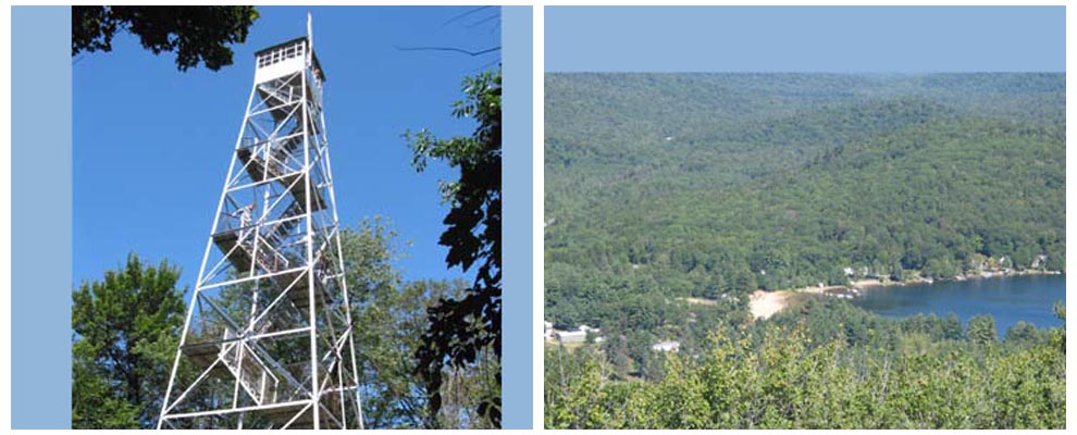
Hike to Kane Mountain Firetower!
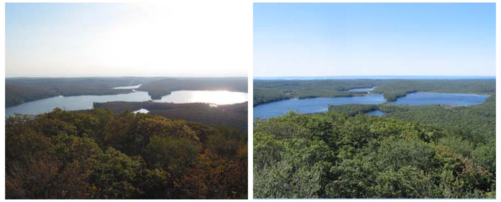
Kane Mountain and it's firetower is undoubtedly the most popular hike for those visiting Southern Adirondack Pines. And why not - the hike is invigorating and the view from the top of the firetower is spectacular during any season!
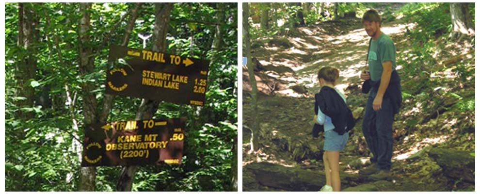
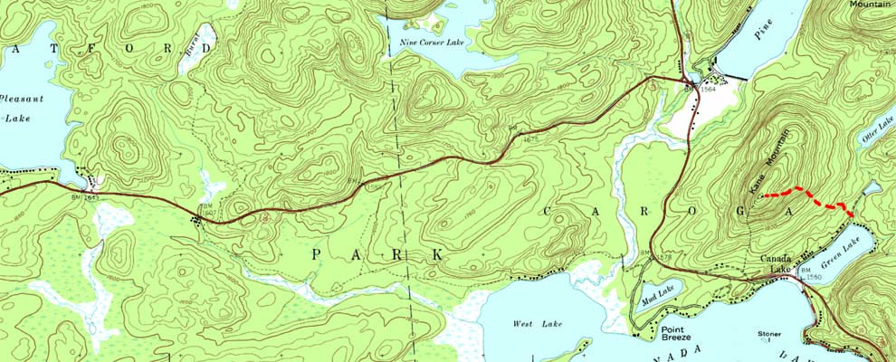
There are two trail heads that access Kane Mountain and the tower. The main trail runs from Green Lake Rd. The .5 mile hike climbs 600 ft. to the top of the mountain at 2200 ft. above sea level. The trail is moderate in difficulty, and can be a bit muddy if the weathers been wet.
The second trail runs from Schoolhouse Road. Although this is a shorter ascent to the top, it is quite a bit steeper and includes some rocky areas.
A popular approach is to go up the trail from Green Lake and come back down onto Schoolhouse Rd. This also affords a stop at the Canada Lake Marina for a refreshment following the hike!
Directions to Trail Head - Kane Mountain Firetower via Green Lake:
1. Turn left onto Rt 29A (toward Caroga lake)
2. Travel 1.9 miles, turn left onto Green Lake Rd. (just past Canada Lake Marina and Store)
3. Travel .4 miles, bare to the left at fork. Parking is a few hundred feet on right, trail head is to the left.
